Day 52 – May 1 –
Point Arena and Point Cabrillo Lighthouses
The leaking water line seems to be fixed! Before we left home I had fixed the sink – it
was leaking and then the water line leaked, so we have had water issues for 50
days and I think they are gone. We will
see.
It was a bright, sunny day and we all had on jeans. We were headed over to the coast to see a
couple of lighthouses and we know how cold it can be on the coast with the wind
off the cold Pacific water.
Our first stop was the Point Arena Lighthouse just north of
Point Arena, California. This is from
our book on lighthouses (“American
Lighthouses – A Definitive Guide” by Bruce Roberts and Ray Jones)
“The point’s rugged
topography was created by the San Andreas Fault, which lies beneath the
lighthouse. The legendary fault slipped
in 1906, flattening much of San Francisco and, no surprisingly, devastating the
Point Arena Light Station. Fatally
cracked by the shaking, the original brick tower had to be replaced.”
We had to travel south on highway 101 to state highway 253,
and then west to the lighthouse. We were
talking about how the road curved a lot, but was good road. About that time we hit highway 128 (the same
one that we drove through Napa Valley, just farther south) and then we came to
Booneville and had to turn on another state road to go to highway 1 on the
coast.
Well, this new road we were travelling on was narrower and
had more twist than a good mystery novel.
We went up and up, winding our way up and then winding our way
down. The road was carved in the
hillside – they removed only trees that were growing in the roadway. Many trees had a reflector in front of it to
warn the drivers that there wasn’t a shoulder at that point, just the big tree.
We had 80 or so miles of twisting and turning before we hit
the coast. Finally we came to highway 1
and followed it a couple of miles south to Point Arena Lighthouse. As were entered the area around the
lighthouse we saw people standing with cameras or binoculars looking out at the
ocean. The gate to the lighthouse had a
sign that it cost $7.50 a person to enter – just to get closer to the
lighthouse. We decided we could see just
fine on the outside of the fence and parked to take pictures of the lighthouse
and to try to find out what everyone was looking at in the ocean.
 |
| Point Arena Lighthouse |
 |
| Gray Whale |
 |
| Sea Arch |
It turns out people were seeing one or more whales just
below the surface of the water. We took
some pictures of the whales and the sea arch on our side of the fence from the
lighthouse.
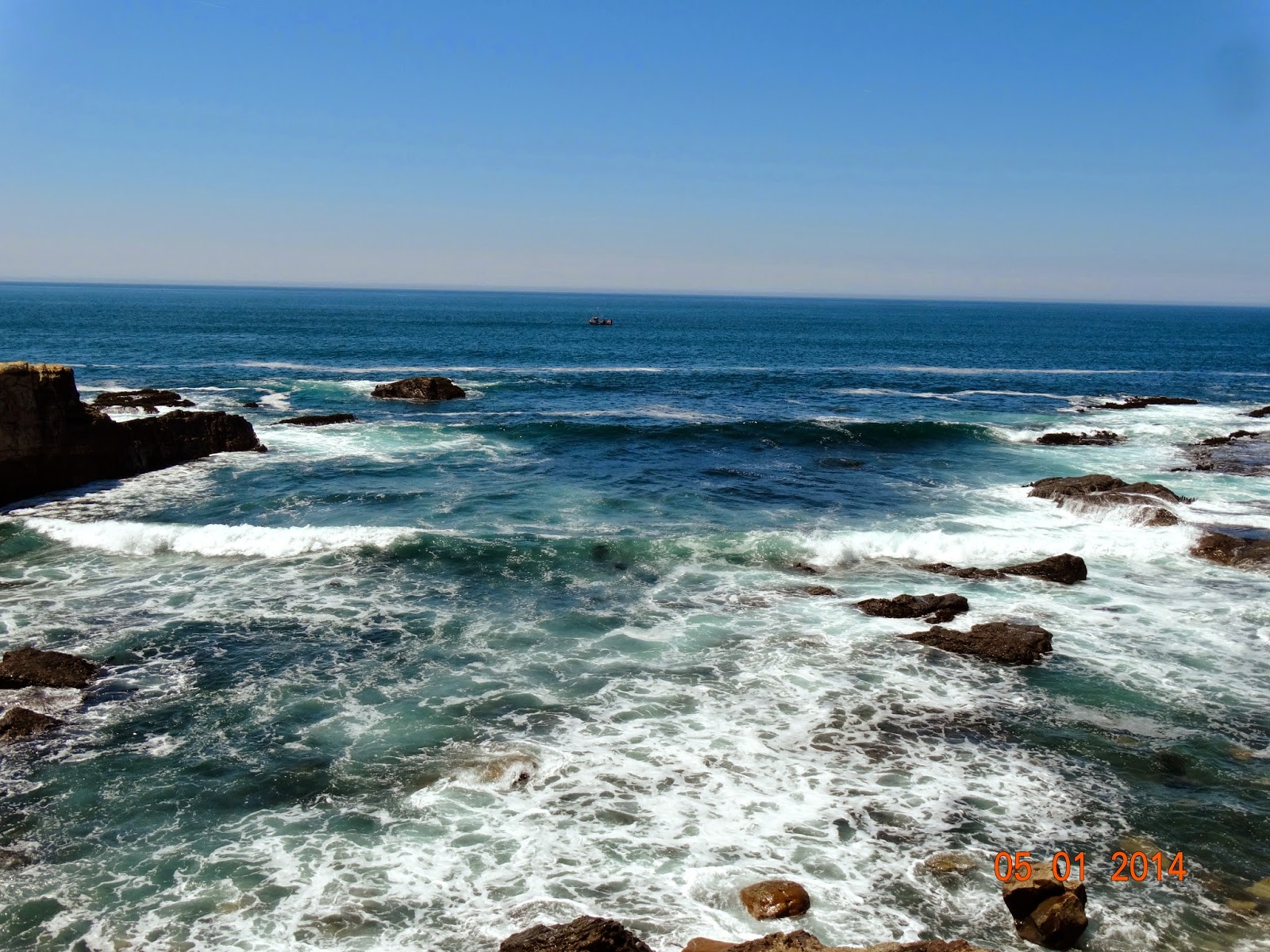
We returned to a spot we had passed on our way to the
lighthouse. We had brought a picnic
lunch with us and we ate it while watching the waves. We walked out to the surf to take more
pictures. We spent about 2 hours just
watching the ocean, taking pictures and looking in awe of the power of the
waves pounding the rocks.

We loaded up and drove about 35 miles north on highway 1 to
Point Cabrillo Lighthouse. We stopped in
the main parking lot where a sign said it was half a mile walk to the
lighthouse. Dorrie and I walked the
half-mile while Rick and Mary drove to the handicap parking area much closer to
the light.
Coming down the road to the lighthouse it looked so small
and more like a little church or school house than a lighthouse. It is still a working lighthouse and we took
some pictures.


The building was originally the engine room for the foghorns on the roof of the building. We talked to the volunteer in the gift shop and he told us the local merchants use to know when the light keepers or their families came in for supplies because they talked in 20 second bursts - they were so used to not being able to talk when the fog horn went off.
The building was originally the engine room for the foghorns on the roof of the building. We talked to the volunteer in the gift shop and he told us the local merchants use to know when the light keepers or their families came in for supplies because they talked in 20 second bursts - they were so used to not being able to talk when the fog horn went off.
We returned home to a meal we had let cook all day in the
crock-pot – pork chops covered with cream of mushroom soup (with a little red
wine mixed in). Served with rice, it was
a good ending to a great day of sightseeing.
No comments:
Post a Comment